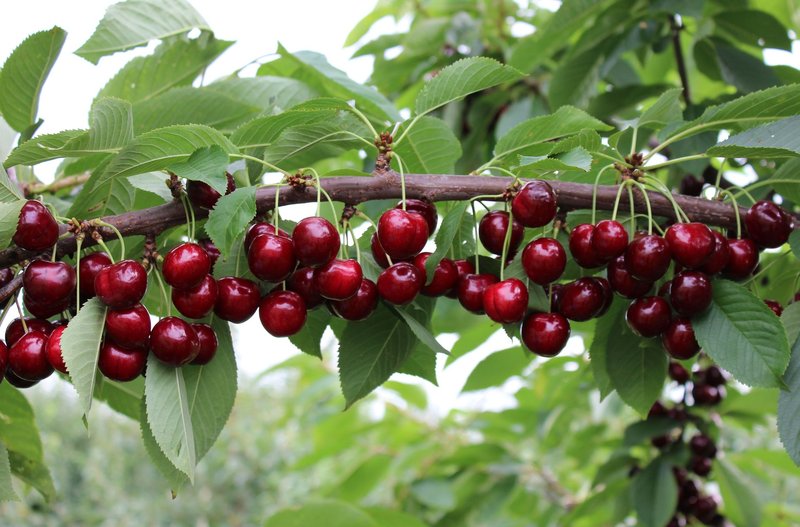
Precision orchard management requires tools capable of describing vegetation structure and distribution, as well as tree size and how these characteristics change throughout the growing season. In this context, monitoring with drone-mounted LiDAR (Light Detection and Ranging) sensors is a promising technology for characterising the three-dimensional structure of tree canopies and detecting potential vegetative anomalies at an early stage.
A recent study investigated the application of this technology in a commercial cherry orchard in southeastern France, developing a method to estimate the Plant Area Index (PAI) and track its changes throughout the growing season. The PAI represents the total surface area of plant elements, including leaves and woody components, per unit of ground area. Unlike the Leaf Area Index (LAI), it does not account exclusively for leaf area, making it particularly suitable for describing the overall structure of the canopy.
LiDAR surveys and PAI estimation
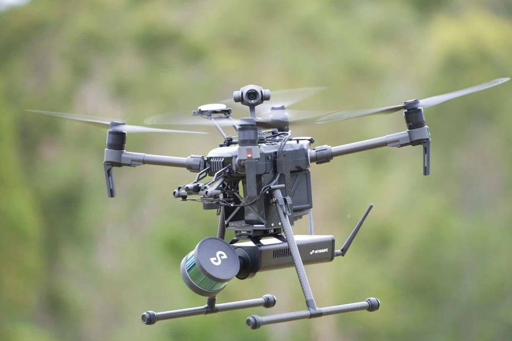
The study involved 14 LiDAR surveys conducted between February and December 2022 using a drone equipped with a DJI Zenmuse L1 sensor, with a point density of approximately 3,300 points per square metre. The three-dimensional data were processed using a method based on dividing the canopy into voxels, or volumetric elements of defined dimensions, within which the PAI was estimated. Summing the values along vertical columns made it possible to reconstruct vegetation distribution across both the entire canopy and its individual layers.
Comparison with field measurements obtained using a LAI-2200C analyzer highlighted the importance of spatial resolution for estimation accuracy. The most accurate configuration used 1 × 1 m voxels, achieving a root mean square error (RMSE) of 0.50 m²/m² and a coefficient of determination (R²) of 0.59. To achieve greater resolution in representing within-orchard variability, the researchers adopted 0.7 × 0.7 m voxels while maintaining satisfactory accuracy, with an RMSE of 0.58 m²/m² and an R² of 0.51. The vertical component was divided into 0.3 m intervals, allowing vegetation distribution to be described along the height of the trees.
Seasonal changes in PAI
Qualitative summary of the changes described in the study; intermediate measurements are not shown.
Leaf development
Rapid increase
Late June
Peak: approx. 3 m²/m²
Later in the season
PAI decline
The decline was associated with reduced rainfall and lower soil water content.
Cultivar variability and response to water stress
The resulting maps revealed differences among the five cherry cultivars considered, as well as marked variability between individual trees of the same cultivar. In particular, ‘Prime-Giant’ showed lower mean PAI values than the other cultivars, whereas ‘Folfer’ and ‘Belge’ generally exhibited denser canopies.
The time series also made it possible to track the main phenological stages: following low values during dormancy, PAI increased rapidly with leaf development, reaching a peak of approximately 3 m²/m² in late June. Subsequently, declining soil water content and reduced rainfall led to a decrease in PAI, which was also attributed to leaf folding under water-stress conditions. The magnitude of this response differed among cultivars, with more pronounced reductions in ‘Prime-Giant’ and ‘Folfer’.
Vertical profiles to identify underdeveloped trees
Another promising application is the potential to identify trees with insufficient vegetative development by analysing vertical PAI profiles. Although further research is needed to quantitatively validate these profiles, the method demonstrated its ability to distinguish normally developed canopies from trees characterised by limited growth.
Supporting cherry orchard monitoring
Overall, the study shows how repeated LiDAR surveys can describe canopy dynamics and structural variability in cherry orchards, creating new opportunities to monitor tree vigour and develop more targeted management strategies.
Source: Marcel M. El Hajj et al. (2026). “Plant area index estimation from UAV LiDAR time-series over cherry orchards.” Precision Agriculture, 27(4), 108. https://doi.org/10.1007/s11119-026-10408-8
Image source: Unmanned Systems Technology
Andrea Giovannini
PhD in Agricultural, Environmental and Food Science and Technology - Arboriculture and Fruitculture, University of Bologna, IT
Cherry Times - All rights reserved